
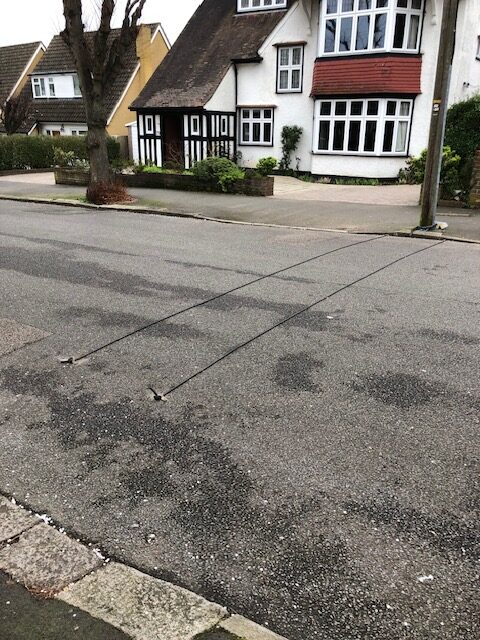
It is some years since we have last had an exercise to measure the volume and speed of traffic in our Ward. The last time this happened it enabled us to introduce some measures to calm traffic in Cavendish Road. From Monday 19th February the tubes seen in this picture taken in The Ridgway, integral to traffic measurement equipment, appeared in many local roads at the eastern end of the Ward. The tubes collected data for seven days on the volume, speed and classification of vehicles.
The results of the exercise are listed below. The results have not led to some “standout” conclusion as to a problem that needs tackling. Traffic officers are examining three main issues:
- whether action can be taken to improve the safety and the experience of pedestrians crossing the Kings Lane bridge without closing the road to vehicles. The bridge is narrow. Installing a second bridge would be impossibly expensive. Marking a pedestrian path at one side of the road might be feasible
- similarly, whether something can be done to improve the safety and the experience of pedestrians passing under the railway bridge in Langley Park Road
- possible improvements to the busy junction where Cedar Road crosses Langley Park Road.
Your views on these issues, and views on any other traffic and parking issues you would like us to look at, are invited.
The traffic survey yielded three pieces of data on traffic movements at 17 locations in the part of Sutton South Ward east of Brighton Road. The survey was undertaken in February 2024 over a seven day period Monday to Saturday. The three pieces of data are:
- the percentage of vehicle traffic that was heavy goods vehicles (HGVs)
- the average speed of traffic, and
- the average daily flow of vehicles over the seven day period.
The 17 traffic measurement stations are listed here, with the three pieces of data in each direction of the road, in an approximate order from north to south of the Ward, taking roads to the west of the Ward and then listing roads further east.
KINGS LANE (Southernmost bridge)
North 5.1 / 14.2 / 1350 South 6.7 / 13.9 /1119
HILLCROOME ROAD
East 7.7 / 19.8 /1034 West 4.2 / 18.4 / 808
LANGLEY PARK ROAD (at the railway bridge)
North 6.9 /21.6 / 3749 South 7.0 / 22,2 / 3059
BRIGHTON ROAD (at the junction with The Quadrant)
North 8.4 / 17.9 / 6807 South 7.5 / 18.3 / 8508
BRIGHTON ROAD (just south of the junction with Christchurch Park)
North 8.5 / 25.5 / 8421 South 8.6 / 24.6 / 7599
CEDAR ROAD (between the junctions with Brighton Road and with Langley Park Road)
East 8.3 / 17.8 / 2727 West 7.5 / 18.7 / 1936
LANGLEY PARK ROAD (just north of the junction with Cavendish Road)
North 5.6 / 22.4 /3034 South 5.8 / 21.3 / 3043
LANGLEY PARK ROAD (just south of the junction with Chalgrove Road)
North 8.5 / 22.0 / 1697 South 8.2 / 21,0 / 1843
CAVENDISH ROAD
East 9.9 / 19.3 / 648 West 8.7 / 21.2 / 878
CHRISTCHURCH PARK
East 6.0 / 22.2 / 424 West 5.7 / 23,1 / 667
DEVONSHIRE AVENUE (one way street)
East 5.8 / 18.7 / 622
MAYFIELD ROAD
North 6.8 / 25.0 / 616 South 6.4 / 23.6 / 332
THE RIDGWAY (north of junction with Farm Road)
North 6.2 / 24.3 /324 South 5.1 / 24.2 / 349
THE RIDGWAY SOUTH and CHALGROVE ROAD
North 5.9 / 25.1 / 571 South 5.9 / 25.1 / 545
FARM ROAD
East 5.0 / 21.2 / 869 West 4.9 / 20.4 / 994
UPLAND ROAD
North 5.2 / 21.3 / 263 South 11.3 / 25.8 / 293
DOWNSIDE ROAD
East 6.7 / 19.2 / 1089 West 5.9 / 20.8 / 1147